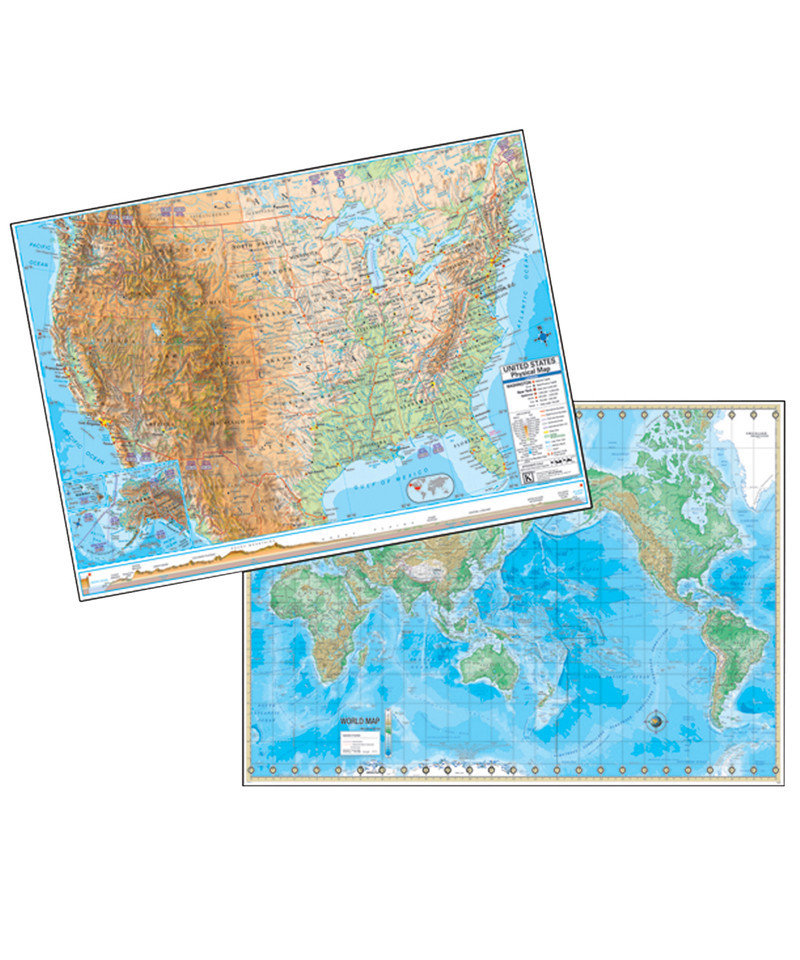
The US/World Advanced Physical Laminated Rolled Map displays the Mercator Projection and offers complete coverage, including an inset of Europe. Physical maps show wetlands, desert locations, ocean currents, and water depths plus includes an elevation cross —section with color bar


